
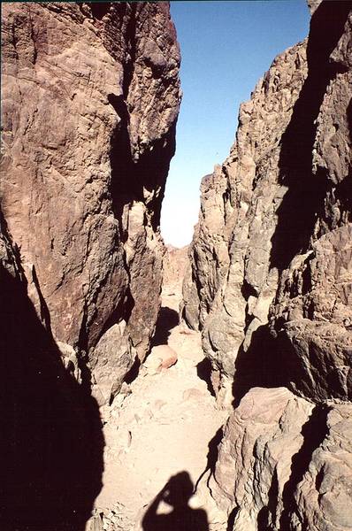

Narrow part of the canyon of Mapalim creek, 'wadi of the falls', 3 miles north-west from Eilat. The Middle East


Album 193: Mount Shelomo - Eilat Mountains, March 22, 2001
The image depicts a narrow section of the canyon of Mapalim Creek, located approximately three miles northwest of Eilat, in the Middle East. This region is characterized by arid conditions and rocky terrain.
* **Rocky Terrain**
* The canyon's walls are composed of rugged, brown rock formations that display some greenish hues due to lichen or moss growth.
* The surface of the rocks appears rough and uneven, with visible cracks and crevices.
* **Ground Conditions**
* In the foreground, a sandy area is visible at the bottom of the canyon, which may indicate recent rainfall or flooding in this region.
* A shadow from an unseen source can be seen along the bottom edge of the image, suggesting that the photo was taken during the late morning or early afternoon when direct sunlight is not intense enough to illuminate the entire scene.
* **Lighting Conditions**
* The lighting conditions are bright but not overly harsh, indicating a clear day with minimal cloud cover.
* Shadows cast by rocks and other features suggest that the sun is positioned at an angle of about 45 degrees relative to the camera's viewpoint.
In summary, the image captures a narrow section of the canyon of Mapalim Creek, showcasing its rugged rock formations and arid environment. The lighting conditions are bright but not extreme, with shadows indicating a moderate time of day. – AI vision


