
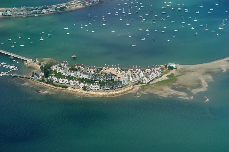

Boston Harbor Islands from a plane from Atlanta GA to Boston MA


Album 400: Newport RI - Saint Petersburg, Russia, July 3 - 17, 2004
The image shows an aerial view of Boston Harbor Islands. The islands are surrounded by water and have a mix of residential buildings and greenery. There is also a bridge that connects one island to another. In the background, there are more islands with trees and grassy areas.
* **Boston Harbor Islands**
+ Located in Massachusetts
+ Comprise 34 islands
+ Largest island: Peddocks Island
+ Smallest island: Grape Island
+ Home to various wildlife species, including birds, fish, and mammals
* **Residential Buildings**
+ Situated on the larger islands
+ Range from small cottages to large houses
+ Many have porches and decks overlooking the harbor
+ Some have boats docked in front of them
* **Greenery**
+ Various types of trees, including pine, oak, and maple
+ Grasslands and meadows on some islands
+ Vegetation is more sparse on smaller islands
* **Bridge**
+ Connects Peddocks Island to Georges Island
+ Allows for easy access between the two islands
+ Provides a scenic view of the harbor
* **Background**
+ More islands are visible in the distance
+ These islands have trees and grassy areas
+ The water surrounding the islands is calm and clear. – AI vision


