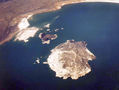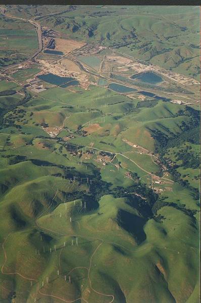

- Views of California from a plane: Death Valley, Mono Lake, Yosemite Park, Oakland


Album 4: San Francisco, April 26-27, 1996
The image shows an aerial view of a landscape with multiple bodies of water and roads.
* The landscape is mostly flat and green.
* There are several small hills throughout the area.
* In some areas, there appear to be large trees or other vegetation.
* A highway or road runs through the center-left of the image.
* It appears to intersect with another road that runs from the bottom left to the top right of the image.
* There are several lakes in the area.
* Some are small and irregularly shaped, while others appear to be larger and more rounded.
* The largest lake is on the far side of the highway and appears to have a long, thin peninsula extending into it.
The overall landscape appears to be flat and green with some hills and bodies of water. – AI vision
🇨🇳 中文描述 / Chinese Description
- 加州的飞机景观:死亡谷、莫诺湖、约塞米蒂公园、奥克兰(1996年4月26-27日的旧金山)。图像显示了多个水域和道路交错的景观鸟瞰图。* 景观主要为平坦绿色的土地。* 整个区域遍布小丘陵。* 有些区域看起来有大树或其他植物。* 图像中间左侧贯穿一条高速公路或道路。* 它似乎与从图像左下方延伸至右上方的另一条道路相交汇。* 该区域有几个湖泊。* 其中一些是小而不规则的形状,而另一些则看起来较大且更加圆润。* 最大的湖位于高速公路的远侧,似乎有一条长而细的半岛伸进湖中。整个景观地平线宽阔绿色,但有些小山和水域存在。. – Chinese translation