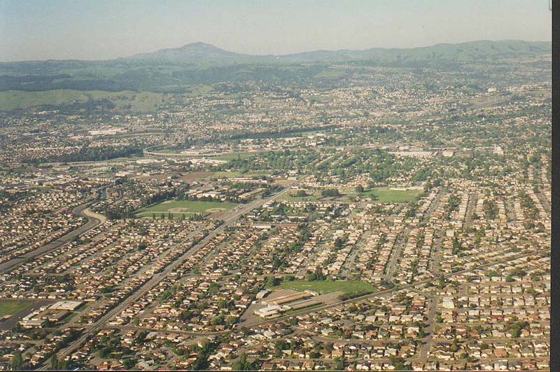

- Views of California from a plane: Death Valley, Mono Lake, Yosemite Park, Oakland


Album 4: San Francisco, April 26-27, 1996
The image shows two aerial photographs taken from an airplane.
**Top Photograph**
* The top photograph is of a town or city with numerous houses and streets visible.
* In the background, there are hills and mountains visible.
* There appears to be some sort of road or highway running through the center of the photo.
* The overall tone of this image is one of urban sprawl, with many buildings and structures packed tightly together.
**Bottom Photograph**
* The bottom photograph appears to show a similar town or city as in the top photograph.
* However, there are fewer buildings and streets visible than in the top photo.
* There also appear to be some hills or mountains in the background of this image.
* The overall tone of this image is somewhat similar to that of the top photo, but with a slightly different perspective.
**Additional Information**
* Based on the caption, it appears that these images were taken from an airplane during a flight over California.
* The date listed in the caption is April 26-27, 1996, which suggests that these photographs may have been taken as part of a larger series or collection documenting the state's geography and landscape.
Overall, these two aerial photographs provide a unique perspective on the urban landscape of California. They offer a glimpse into the state's diverse geography and highlight the importance of preserving its natural beauty for future generations. – AI vision
🇨🇳 中文描述 / Chinese Description
加州航拍景观:死谷,莫尼湖,约塞米蒂公园,奥克兰(1996年4月26-27日拍摄的旧金山)。 该图片展示了两张航拍照片,分别从一架飞机上拍摄而成。 **顶部照片** *顶部照片显示出一个城镇或城市,可以看到许多房屋和街道。 *背景中有丘陵和山脉的影子。 *似乎有一条公路或高速公路横穿照片的中央。 *该图像的整体色调是城市的崛起,许多建筑物和结构密集地排列在一起。 **底部照片** *底部照片似乎显示出与顶部照片中的城镇或城市类似。 *然而,可见的建筑和街道比前一张照片要少。 *这张图像的背景也有丘陵或山脉的影子。 *该图像的整体色调与顶部相同,但视角略有不同。 **附加信息** *根据说明,似乎这些照片是从一架飞机上拍摄的,航行路线途经加利福尼亚州。 *日期在说明中写着1996年4月26-27日,这表示这些照片可能已经成为记录该州地理和景观的一系列或集合中的一部分。 总的来说,这两张航拍照片提供了加利福尼亚城市景观的独特视角。它们给人留下了加州多样化地貌的印象,凸显出保护自然美景对于后代子孙至关重要。. – Chinese translation