
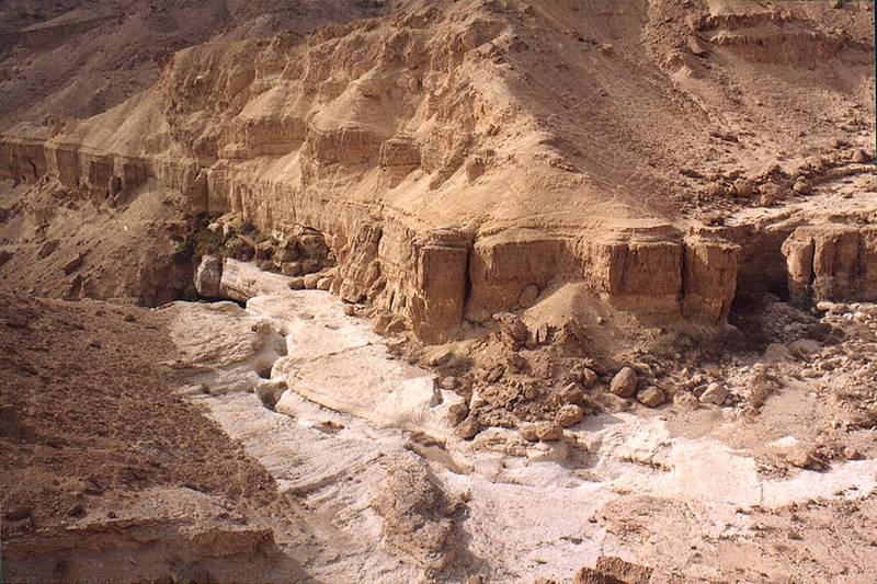

View from a trail along Tsafit Creek 10 miles west from Dimona. The Middle East


Album 238: Nahal Tsafit near Dead Sea, Nov. 29, 2001
The image presents a dry and arid landscape, characterized by sandy terrain and sparse vegetation. A creek bed runs through the center of the scene, with several rocks scattered along its banks. The presence of these rocks suggests that there may have been water flowing through this area in the past.
In the foreground, a trail can be seen winding its way up the hillside to the right of the creek. This trail appears well-trodden and is likely used by locals or visitors for hiking or exploring purposes. The surrounding terrain is dotted with small bushes and shrubs, adding some greenery to an otherwise barren landscape.
In the background, a series of rocky outcroppings can be seen rising up from the ground. These formations give the impression of being part of a larger geological structure that has been eroded over time by natural forces such as wind and water.
Overall, the image captures a moment in time when the weather conditions were favorable for photography, with clear skies and a well-defined horizon line. The lighting is soft and even, suggesting that it was taken during late morning or early afternoon. – AI vision


